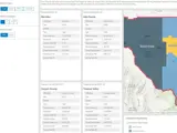
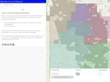
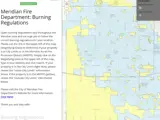
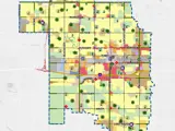
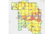
The City of Meridian uses Geographic Information System (GIS) maps and applications to provide our residents with accurate and meaningful spatial information. Below is a list of GIS map applications for your use; including interactive maps, dashboards, and story maps. To see a list of GIS data that is available for download or other agencies GIS resources, visit Meridian's GIS HUB.
Terms of use: The GIS data contained in Meridian maps and applications was created with every effort to provide current and accurate information, keeping in mind that it is a general representation and should be professionally verified before private use. No representations or warranties are conveyed with these records regarding suitability, reliability, or accuracy for any purpose. Any user of these resources accepts all risks of using it, whether such risks are known, or unknown, and such user is solely responsible for complying with any and all legal requirements and prohibitions, including, but not limited to, Idaho Code section 74-120, prohibiting the use of these records for marketing or as a mailing or telephone list. Updates and/or changes to this information may occur at any time without prior notice.


